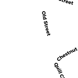
12 QUILL CI
Owner Information
GROLNIC STEPHEN S & IRENE J TBE
12 QUILL CIRCLE
RANDOLPH, MA 02368-0000


Property Details
12 QUILL CI is classified as a Single Family Residential (Raised ranch).
The primary structure on this property was built in 1987. There are 2,976ft2 of built area within this property. There is 1,444ft2 of residential/living space within this property. This property is listed as having 6 rooms.
12 QUILL CI is valued at $417,300. The land is valued at $158,100 and the structures are valued at $259,200.
This property is in Zone RH. Confirm with local Zoning Board authorities to ensure there are no overlays or other easements on this property.
The most recent deed for 12 QUILL CI is recorded at the local registrar in Book 8085, Page 0253. 12 QUILL CI was last sold on Wednesday, August 31, 1988 for $0.
Assessment data from fiscal year 2022.
Flood Data
According to the FEMA National Flood Hazard Layer, this property does not appear to be in a flood zone. It may also be in an area not yet reviewed. Nonetheless, confirm this information prior to taking any action.
To view the flood hazards around this property, create a FEMA "Firmette" Map of the area around 12 QUILL CI.
Broadband Internet Providers
| Provider | Type | Bandwidth (mbps) | |
|---|---|---|---|
| Viasat Inc | Satellite | 100 | 3 |
| VSAT Systems, LLC. | Satellite | 2 | 1 |
| HughesNet | Satellite | 25 | 3 |
| GCI Communication Corp. | Satellite | 0 | 0 |
| Comcast | Cable | 1000 | 35 |
| Verizon New England Inc. | Fiber | 940 | 880 |
| Verizon New England Inc. | DSL | 15 | 1 |
| Crown Castle Fiber | Fiber | 0 | 0 |
Broadband service provider data from December 2020.
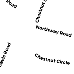
Adjacent Properties
- 34 DECOTA DR
Single Family Residential owned by KANU ABU BAKARR - 9 QUILL CI
Single Family Residential owned by JACKMAN JEFFERY A & ODESSA E TBE - 38 DECOTA DR
Single Family Residential owned by BARTHELEMY MAX J - 36 DECOTA DR
Single Family Residential owned by NGUYEN HENRY - 10 QUILL CI
Single Family Residential owned by WOO CHIU KUN & KATHY KWONG TBE